The Three Zones of a Glacial Waterway
When a skipper lays a ruler across a small-scale planning chart of Western Norway—whether examining Ryfylke, Hardangerfjorden, Storfjorden in Sunnmøre, or the northern reaches around Lyngen and Trollfjorden—the water appears uniform in colour once inside the 20-metre contour. Yet every major fjord system behaves as a sequence of compartments separated by underwater topography and overhead relief.
Treating a 40-mile fjord transit as a single continuous motor or sail leg invites fatigue and poor timing. Instead, break the waterway into transitions between three recognizable zones, each with its own sea state and escape options.
Zone 1: The Outer Sill and Island Screen (Skjærgård to Terskel)
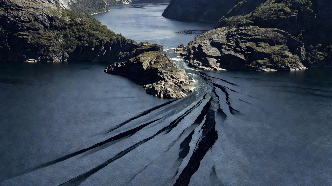
Near the coast, glaciers dropped their terminal moraines before retreating inland. Consequently, a fjord that plunges to 1,200 metres further inland may rise to 30 or 60 metres at its mouth. Here, the whole volume of tidal exchange plus river runoff squeezes across a shallow rock and gravel bar. When an onshore northwest swell meets an outgoing spring ebb over the sill—as seen at the approaches to Sognefjorden near Rutledal or at the mouth of Korsfjorden—steep, breaking overfalls develop rapidly.
Small-vessel passage notes always time the outer threshold for slack water or light following wind, using inside channels between low holms until the deep basin opens up.
Zone 2: The Steep-Walled Trunk Reach
Once across the threshold, depth increases dramatically and the tidal stream slackens, often replaced by a persistent surface drift toward the sea. The primary hazard shifts from bottom shoals to lack of stopping places. Along ten-mile stretches of Lysefjorden or Tafjorden, vertical gneiss walls plunge straight into 300 metres of water. If fuel filters clog from agitation at the entrance sill or a sudden gale funnels down the trench, you cannot simply drop anchor where you are.
Before entering a trunk reach longer than eight miles, log the exact bearing and distance to every side cove, floating jetty, or river fan where a 30- to 45-foot hull can briefly make fast.
Zone 3: The Inner Cul-de-Sac and Meltwater Head
At the head of branches such as Fjærlandsfjorden, Maurangerfjorden, or Geirangerfjorden, huge volumes of cold glacial water enter during late spring and summer. Water density drops noticeably—affecting both hull buoyancy slightly and engine raw-water cooling temperatures—while floating timber, tree branches, and glacial silt plumes require a vigilant bow lookout after heavy rain.
Decision Gates Along Classic Corridors
Below are four frequently studied Norwegian passage corridors, highlighting the specific headland or junction where small-vessel crews stop to re-evaluate weather and sea state before committing to the next leg.
Pacing the Daylight and Crew Energy
Even at 61°N to 69°N in June and July, when twilight lasts all night, the sun drops behind 1,400-metre ridges by mid-afternoon. Once a deep basin falls into mountain shadow, temperature in the cockpit can drop by 8°C within twenty minutes and reading depth contours by water colour becomes impossible. Plan to have lines ashore or the anchor tested by 16:00 local time so that if the primary berth is full or untenable, two hours of high-angle light remain to reach your secondary option.