Why Scale Deceives the Eye in Mountain Water
Skippers accustomed to low coastlines judge their distance off the shore by the apparent height of trees, houses, or dunes. When entering a reach where sheer rock rises 800 to 1,200 metres straight out of the water, that visual calibration collapses. A cliff that looks half a cable away may actually stand half a nautical mile off; conversely, in dark rain squalls or twilight, a low rocky point protruding at the base of a towering dark mountain can blend completely into the background shadow until it is fifty metres ahead.
Furthermore, GNSS receivers inside narrow north-south or east-west rock canyons occasionally experience multipath signal reflection or temporary dilution of precision (HDOP spikes), causing a chartplotter vessel icon to jump thirty metres sideways onto the shore or across a narrow sound. Never steer through a rock-strewn narrows by staring solely at a zoomed-in screen.
Reading Norwegian Aids to Navigation
The Norwegian Coastal Administration (Kystverket) maintains one of the world's most comprehensive systems of fixed marks and sector lights, designed specifically for steep, rock-bound waterways where floating buoys would drift off station in deep water.
- Iron Perches (Jernstaker) with Pointer Arms: Many narrow sounds are marked by black iron posts cemented into drying rocks, topped by a white horizontal pointer arm (viser). The arm always points toward the navigable channel (the deep water side). Pass on the side toward which the arm points.
- White Sector Lights (Fyrlykter): Small white octagonal lighthouses perched on headlands divide the waterway into red, green, and narrow white sectors. Staying inside the narrow white sector guarantees clearance from charted dangers along that lead, both at night and when plotted as bearing lines on paper charts by day.
- Overhead Cable Clearance (Luftspenn): Deep fjords and island sounds are frequently spanned by high-voltage power lines. Note that official Norwegian charts state safe vertical clearance (seilingshøyde) below the safety margin, always referenced to Highest Astronomical Tide (HAT). Verify your masthead height including VHF antenna before entering minor side sounds.
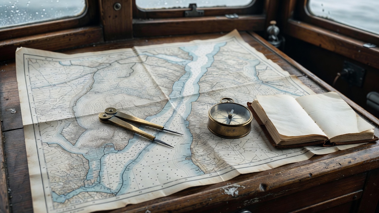
Small-Vessel Equipment & Cold-Water Safety
Even in mid-July, surface water temperatures in inner glacier-fed fjords hover between 7°C and 12°C, and commercial or leisure traffic can be sparse in side branches outside peak holiday weeks. Every piece of safety and mechanical gear aboard should be arranged to prevent minor failures from escalating.
- Dual Fuel Filtration & Vacuum Gauge — Switching from calm fjord motoring to steep sill chop stirs tank sediment right when engine thrust is critical. PROPULSION
- AIS Transceiver (Class B SOTDMA) — Allows high-speed passenger ferries and coasters to spot your small hull before rounding blind granite promontories. COLLISION AVOIDANCE
- Thermal Flotation Suits or Drysuits + Harnesses — Cold shock in 9°C meltwater incapacitates swimmers within minutes; focus on staying tethered aboard via jacklines. CREW SURVIVAL
- PLB / EPIRB (406 MHz with GNSS) — Where VHF line-of-sight is blocked by steep mountain walls, satellite distress beacons provide a backup link to JRCC (Hovedredningssentralen). EMERGENCY LINK
- Radar with MARPA & Rain Clutter Control — Tuned carefully to distinguish wooden fishing boats and aquaculture cages from heavy orographic rain showers. LOW VISIBILITY
Sharing the Waterway: Aquaculture & Ferries
Modern Norwegian fjords are working maritime corridors. Circular salmon aquaculture pens (oppdrettsanlegg) are anchored along steep fjord walls with heavy submerged mooring grids extending up to 150–200 metres outward from the visible surface rings and yellow marker buoys. Always give fish farms a wide berth and strictly obey statutory distance regulations.
Similarly, cross-fjord electric car ferries run silently at 12 to 15 knots on frequent schedules. Because battery-powered vessels produce almost no exhaust smoke or engine rumble, maintain a regular 360-degree visual scan astern and abeam before altering course across a fjord axis.