What Makes a Fjord Harbour Truly Sheltered?
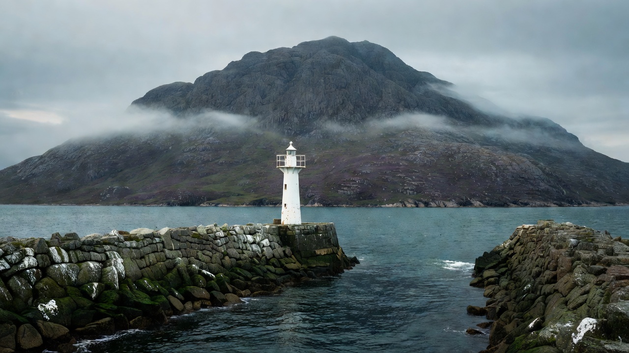
Along the ragged outer coast (skjærgården) of Agder, Rogaland, or Nordland, hundreds of low rocky islands form classic natural harbours (uthavner) with all-round shelter and moderate depths of 5 to 12 metres. Once you enter a true mountain fjord, however, islands become rare. Shelter inside the fjord depends on small side-pockets carved by tributary streams, glacial moraine hooks, or man-made stone breakwaters (moloer).
When approaching an unfamiliar fjord harbour, inspect four physical clues before committing to an overnight stay:
- The Height and Condition of Local Moorings: Look at how resident workboats and skiffs are secured. Heavy chain risers, oversized truck-tyre fenders on a stone wall, or long spring lines led to offshore buoys indicate that violent squalls or swell enter the basin periodically.
- Orientation to the Shipping Lane: Even ten miles inside a quiet branch, electric car ferries, well-boats servicing aquaculture pens (brønnbåter), and express passenger catamarans create low-frequency displacement waves that wrap around headlands and slam vessels against unshielded outer pontoons.
- Overhead Topography and Gullies: Trace the ridge directly behind the harbour up to the snowline. A steep V-shaped ravine acts like a chute for cold night drainage winds and, during spring thaws or heavy autumn rain, carries roaring water and occasional rock debris.
- Tidal Range and Vertical Wall Clearance: While tidal range in southern Norway is minimal (30–50 cm), it increases to 1.5–2.2 metres around Møre and Trøndelag, and reaches 3 metres or more in northern Nordland and Troms. Lying alongside fixed stone or timber pilings requires long, tended spring lines and a fender board.
Three Classes of Fjord Berths
Small-vessel crews cruising Norwegian waterways typically alternate between three distinct mooring environments, each requiring different deck preparation.
Harbour Evaluation Matrix
Use this structured checklist in the cockpit when inspecting a potential night stop from fifty metres off the entrance:
| Factor | Favourable Indicator | Caution Indicator | Mitigation Action |
|---|---|---|---|
| Entrance Sill | Charted > 4m, clear leading marks | Uncharted kelp patches, cross-current | Sound forward at 1.5 knots; post bow lookout |
| Ferry / Ship Wash | Dog-leg entrance or overlapping molo | Direct line of sight to main fjord axis | Drop kedge anchor to hold hull 1.5m off dock |
| Shore Fastenings | Galvanized Kystverket bolts in solid gneiss | Loose boulders, rotted alder trees | Pass line around broad bedrock outcrop |
| Exit in Darkness | Clear white sector on harbour light | Unlit tortuous channel with off-lying rocks | Record clean GPS entry track at high zoom |